
Natural Resource inventory
Lacey Township
HGA was retained by the Township of Lacey to prepare a Natural Resource Inventory (NRI). The NRI is a a valuable tool used by communities to inform land use policy and to ground land use decision-making with an understanding of the underlying environmental conditions upon which all development occurs. It provides a snapshot of the environmental features of a community and serves as a resource for the public and municipal officials to understand their community’s environmental conditions.
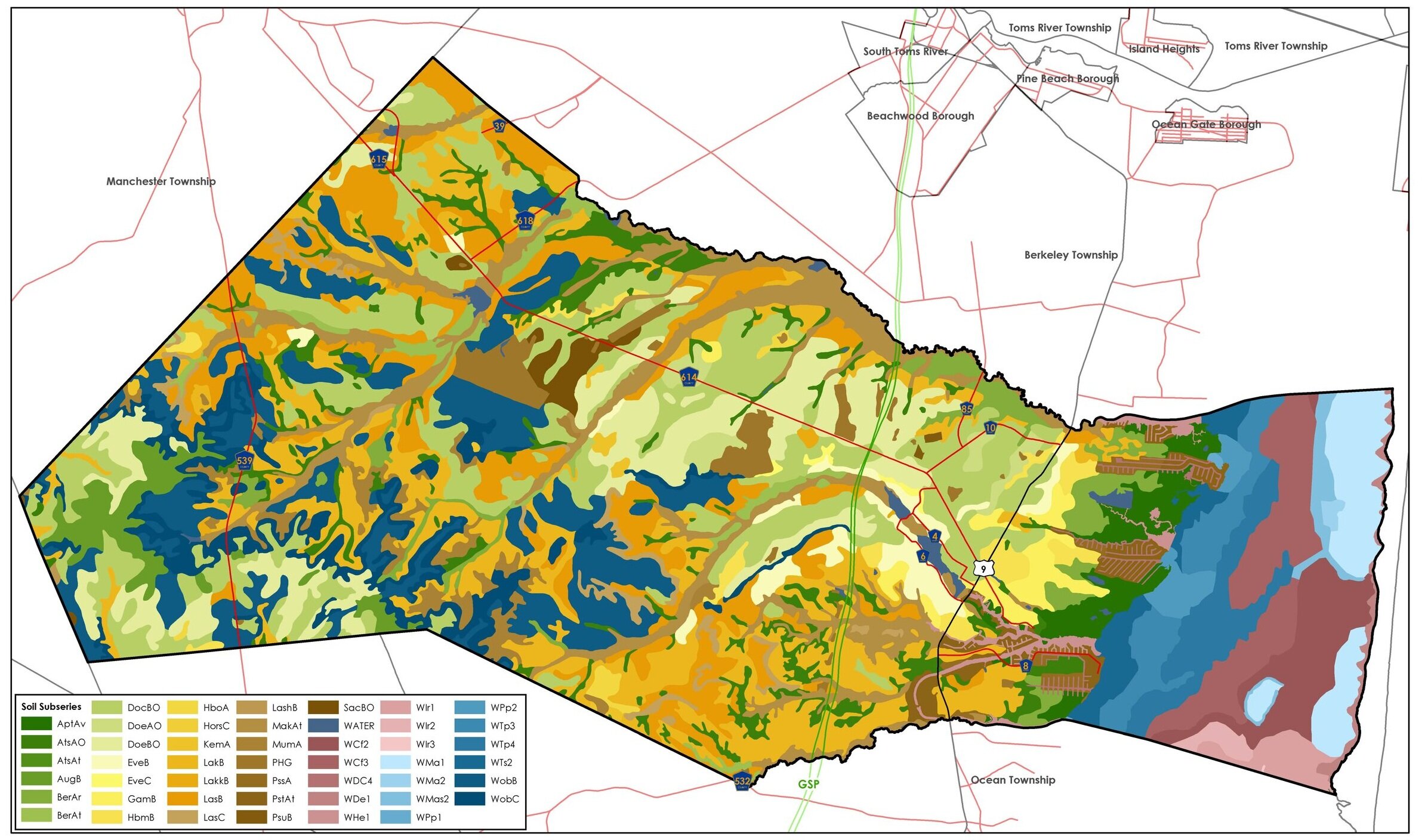
The NRI includes analysis of fifteen aspects of Lacey’s natural resources. Examples include:
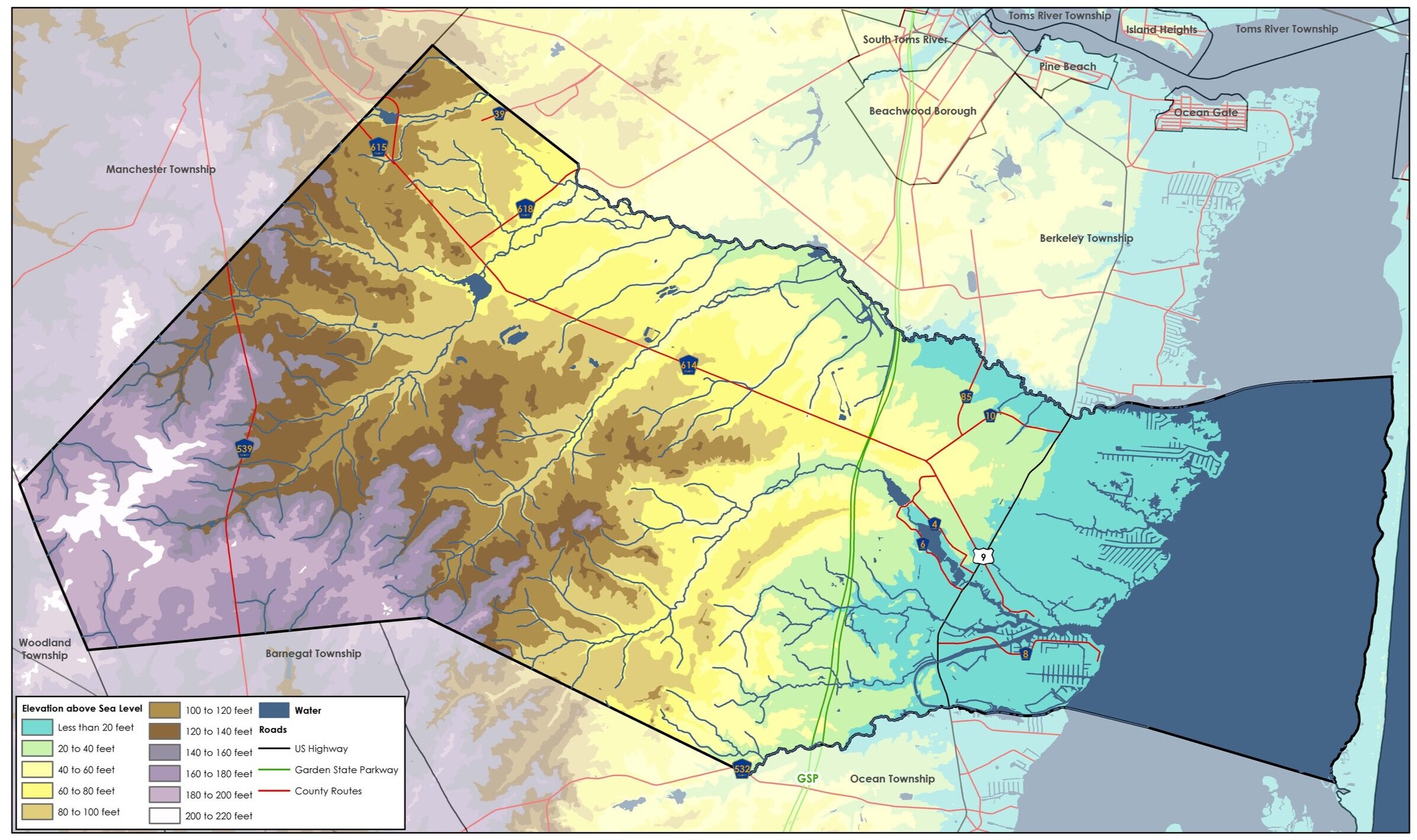
Geography and Topography;
Ground Water Hydrology;
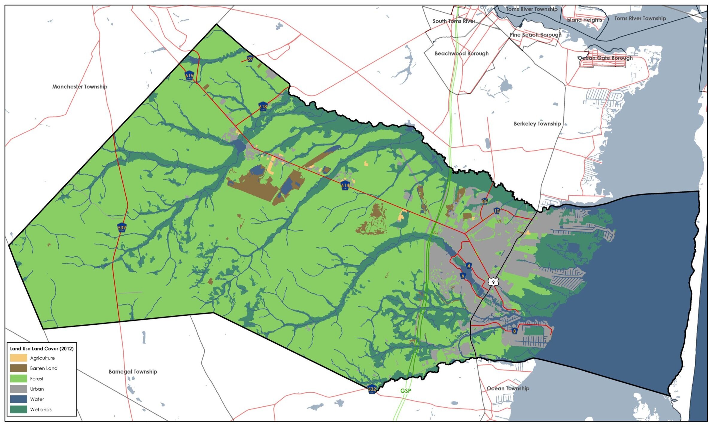
Land Use Land Cover;
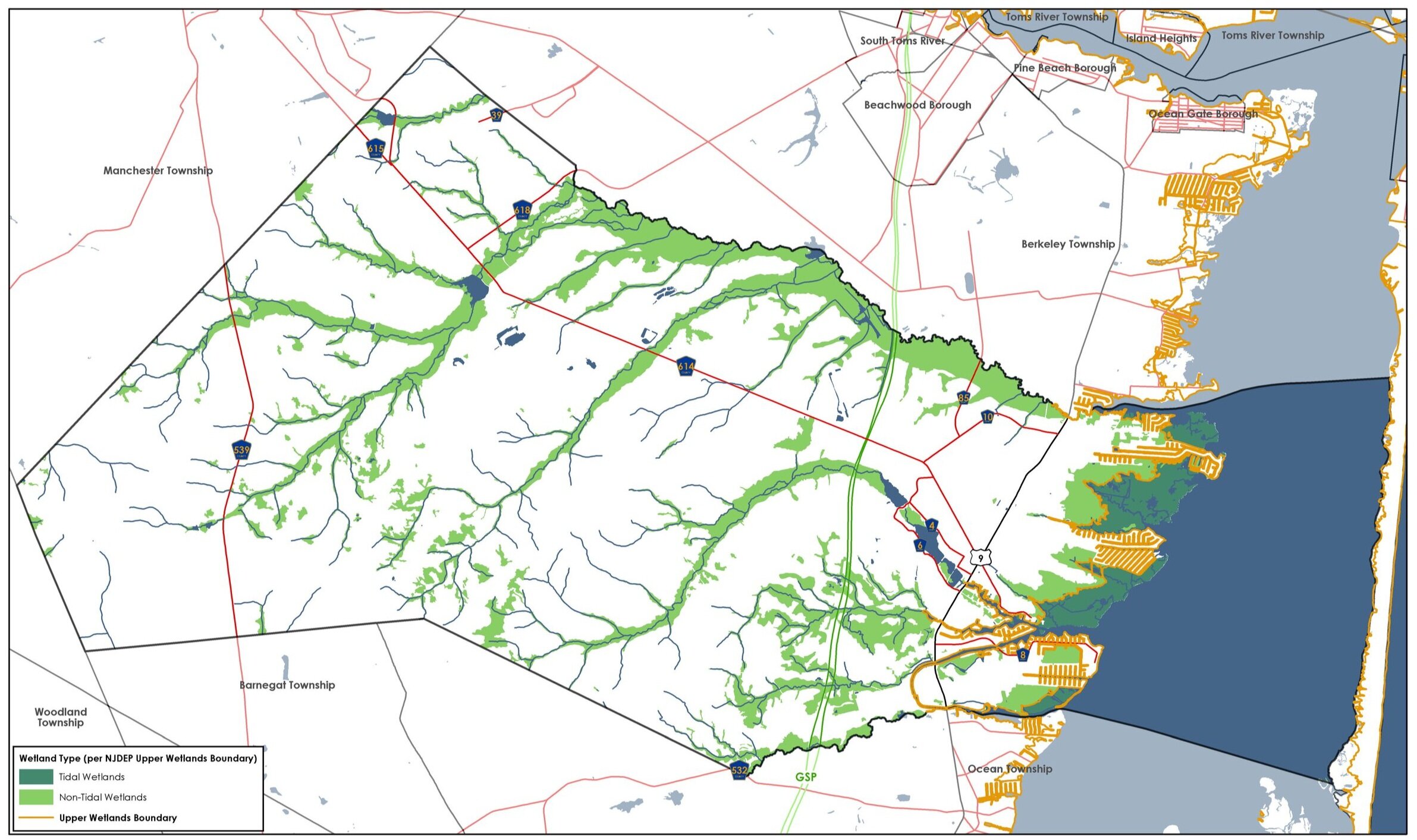
Floodplains & Flood Hazard Areas; and
Critical Environmental and Historic Sites
Extensive mapping and analysis was completed as a component of this project.