Harrison Municipal Public Access Plan
MUNICIPAL PUBLIC ACCESS PLAN
TOWN OF HARRISON
HGA prepared the comprehensive Municipal Public Access Plan (MPAP) for the Town of Harrison in Hudson County. The MPAP lays out the vision of the Town for providing access to tidal waters and shorelines within the municipality. The MPAP was created in accordance with NJAC 7:7-16.9 and in collaboration with the New Jersey Department of Environmental Protection. The development and implementation of the MPAP supports the policy of local determination of public access locations and facilities while safeguarding regulatory flexibility and potential funding opportunities for the Town.
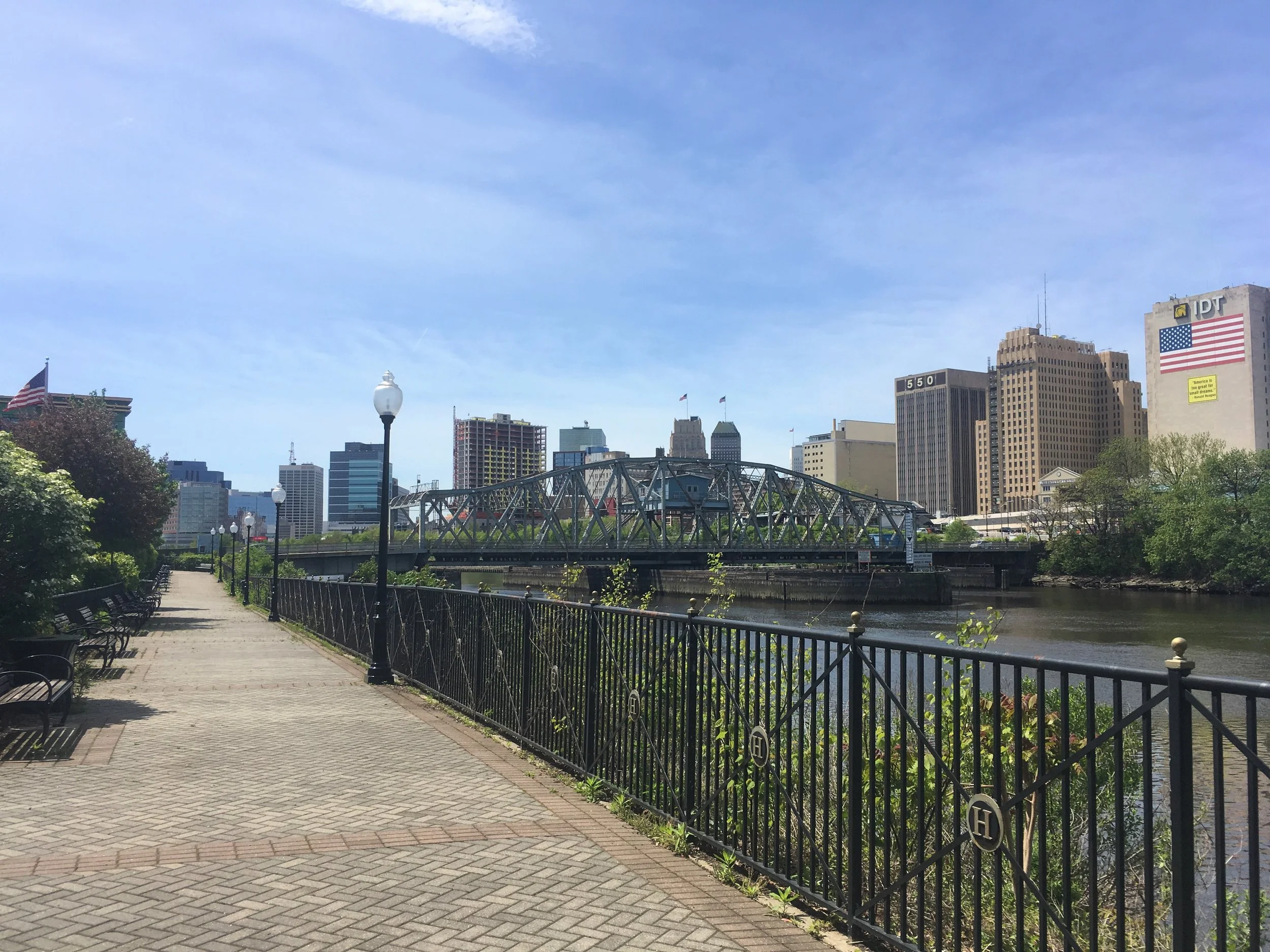
The Town of Harrison has approximately 12,513 linear feet of Passaic River Waterfront along its municipal border, most of which has not be accessible to the public for decades. Through new public access and connections, the Town hopes to transform 250 acres of historically industrial waterfront into a vibrant mixed-use transit oriented waterfront development.
The MPAP consists of four key components:
- Municipal Public Access Vision consists of a municipal description, public access description, and public access goals and objectives;
- Existing Public Access section contains a description of current locations, proposed locations, and limitations of public access;
- Community Needs Assessment;
- Implementation Plan includes priorities, preservation of public access locations, signage, proposed access improvements and facilities, and municipal tools for implementation.
The MPAP was ultimately approved by the NJDEP and adopted as part of the Town’s Master Plan.

